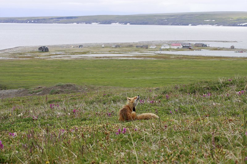
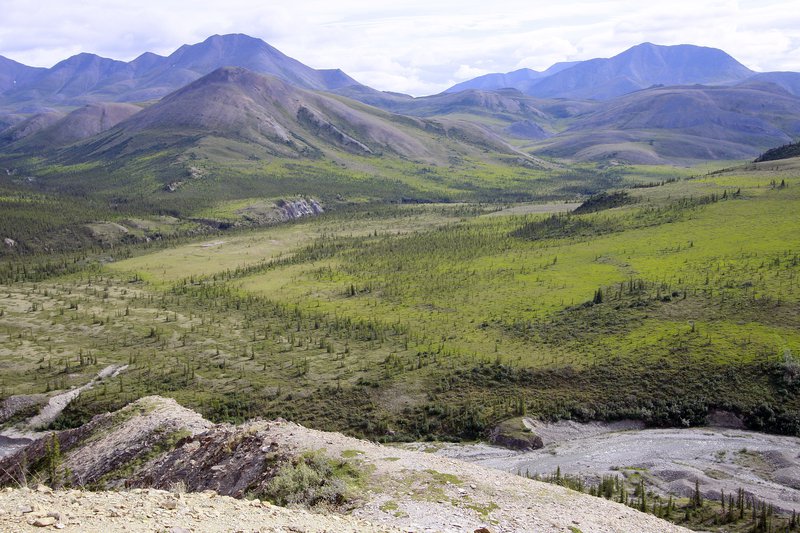
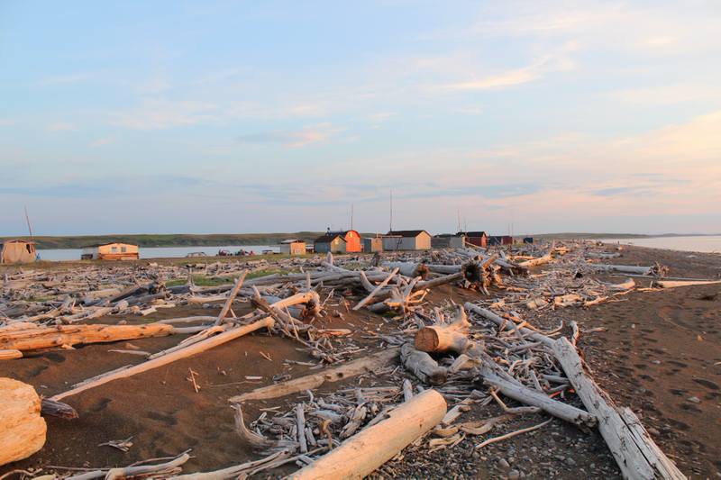
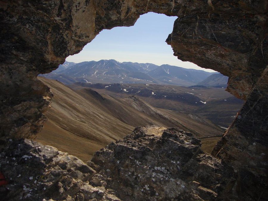
Stewarding the Land

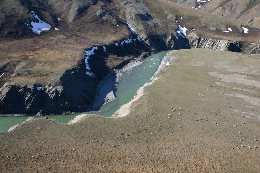
Two parks were created on the Yukon North Slope, as part of the Inuvialuit Final Agreement: Ivvavik National Park and Herschel Island-Qikiqtaruk Territorial Park. As a result, about half of the Yukon North Slope is now under formal protection through parks created in collaboration with Inuvialuit. In 2024, the area east of the Babbage River to the Yukon-Northwest Territories border became Aullaviat/Anguniarvik Traditional Conservation Area.

Qikiqtaruk

Fox on Herschel

Explore Qikiqtaruk

Ivvavik National Park

Imniarvik Lookout

Explore Ivvavik

Aullaviat/Anguniarvik

Shingle Point (Tapqaq)

Explore Aullaviat/Anguniarvik

Donate to Protect Aullaviat/Anguniarvik

Support Inuvialuit stewardship on the Yukon North Slope. Your donation will bolster the Aullaviat/Anguniarvik Trust, the mechanism through which the program will attain the goals set out in the Aullaviat/Anguniarvik Agreement, for generations to come.


Ancient History

The unglaciated Yukon North Slope, which is the area west of the Firth River, is believed to be one of the few surviving patches of Beringia. Today, the most potent reminder of the Ice Age, and Beringia itself, is the presence of permafrost in parts of the Yukon North Slope. Permafrost is an important characteristic of the area, and extends far out into the Beaufort Sea Bed. 

Today's Landscape

The Yukon North Slope of today is home to a number of mountain ranges, including the British, Barn and northern Richardson Mountains. To the east, shaped by the passage of glaciers, are the gently sloping coastal plains (the source of the region's name). These different elevations are reflected in seasonal vegetation patterns, and provide important migration routes for animals.

A Story of Protection

Check out our podcast, with Council chair Lindsay Staples, on the creation of these parks on the Yukon North Slope.